
Make: Aviocian
Model: Avio M1
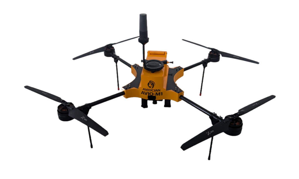
- Capabilities
- High-resolution geotagged imagery with centimetre-level accuracy using RTK/PPK GNSS integration
- High-resolution photos can be used for mapping and surveying.
- Capable flying continuously for 20 mins on single charge.
- The entire flight route and schedule can be fully pre programmed
- Charges
Chares are subjected to change based on the visual inspection and nature of the work.
* Charges for per job in INR (+ applicable GST)
| S. No. | Equipment Details | UG /PG Students from Academic Institutions (in INR) | Research Scholar from Academic Institution (in INR) | Project Staff from Academic Institution (in INR) | Faculty Members from Academic Institutions (in INR) | Research Scientist from R&D Organizations (in INR) | Industry Personnel from Industry (in INR) |
|---|---|---|---|---|---|---|---|
| 1 | Aerial Mapping | 1500/acre | 1500/acre | 1500/acre | 1500/acre | 2000/acre | 2000/acre |
| 2 | Topographic survey | 3500/acre | 3500/acre | 3500/acre | 3500/acre | 4000/acre | 4000/acre |
- Location
Room No.:G05 CTS building- ground floor,
Surveying LAB, School of Civil Engineering,
Vellore Institute of Technology (VIT), Vellore.
- Contact
Dr. L. Vignesh Rajkumar,
Assistant Professor Senior
Department of Environmental and Water Resources Engineering,
Vellore Institute of Technology (VIT), Vellore – 632 014, Tamil Nadu, India.
Email: vigneshrajkumar.l@vit.ac.in || Mobile: +91 9566051611
Instrument email ID: sce.drone@vit.ac.in