Make: LEICA
Model: BLK 360
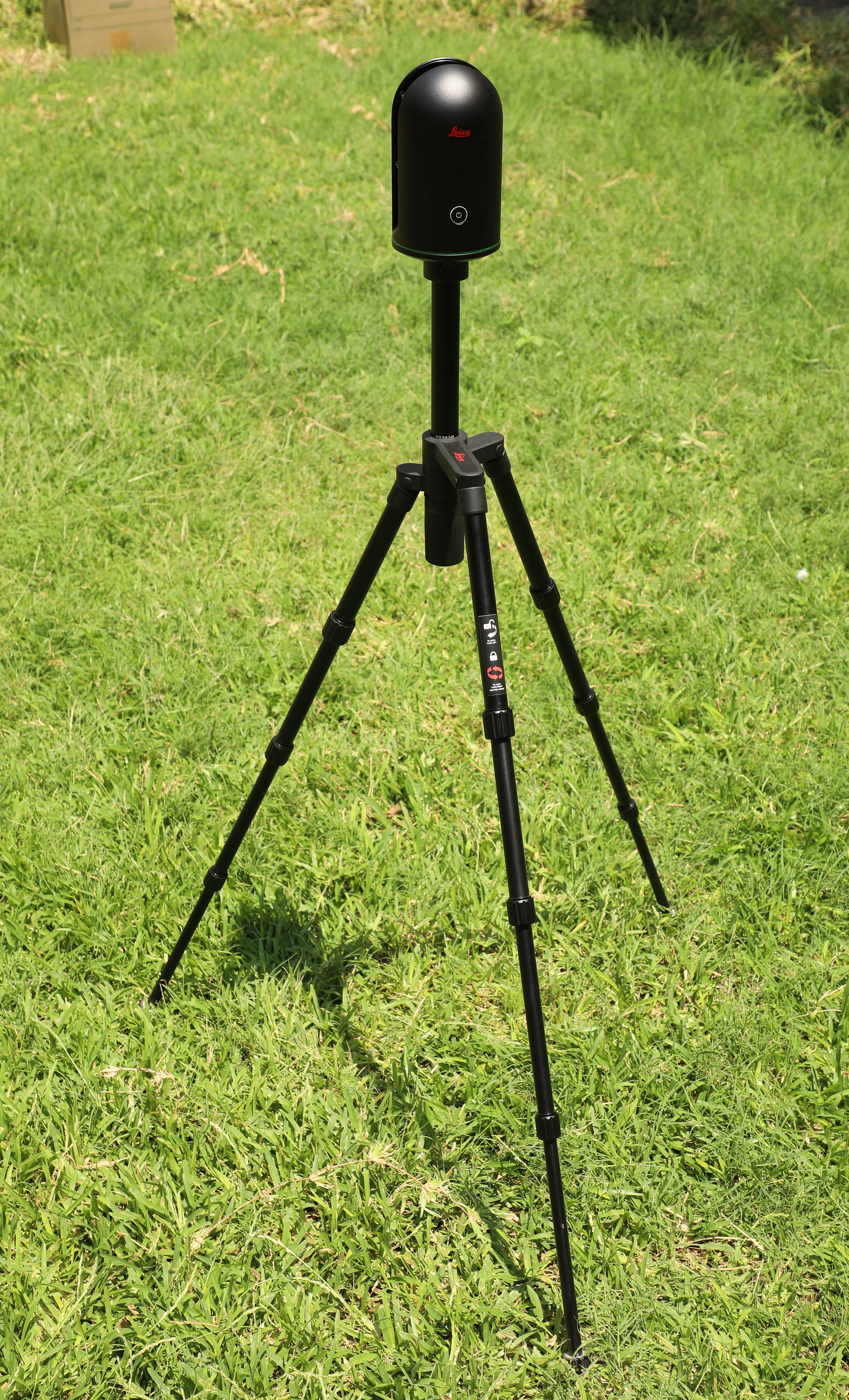
- The ground-based LIDAR system can be used for various civil engineering applications like capturing 3D of existing building?s exterior, interior, preservation of heritage buildings, area volume calculations, highway asset management, identify structural deformation, slope instability analysis, etc.
- Even thermal properties of objects can be studied.
All indoor and outdoor surveys and 3D Map preparation
Room No.: G06
Ground floor
GD Naidu Block
Survey Lab
Dr. Vignesh Rajkumar L,
Assistant Professor (Sr.)
Department of Environmental and Water Resources Engineering,
School of Civil Engineering
VIT, Vellore, 632014.
Email: sce.lidar@vit.ac.in